Be sure be sure to read CSGA Cartography – Part 4.
Pirate Completion and the Coke Machine Route
Despite numerous runs and GPS file editing there was still more work to do. I was missing the the Pirate Trail Alternate Loop (RR), the Coke Machine Route (C), the connector from south Dursam Ave parking lot to Section 2 (L), the South East Loop in Section 4 (SE), as well as a solid mapping of the Upper Loop (NT). I would eventually run each of these in full over two weeks in late March and April 2017.
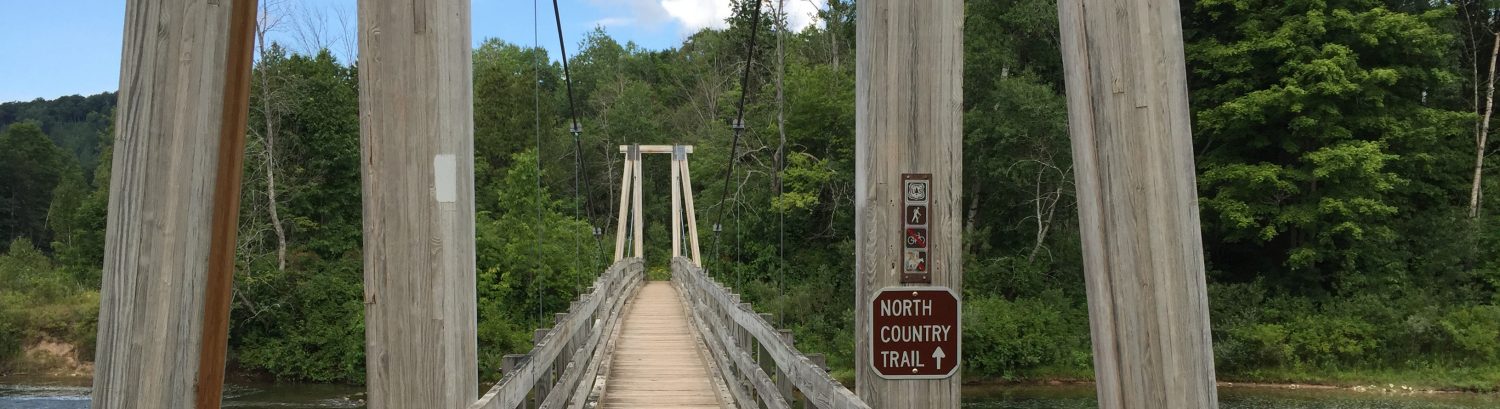
My first attempt to capture the Pirate Trail Alternate Loop (RR) started with the standard difficulty of finding the entrance of 4 Mile Rd. After I settled in I knew that the Alternate Loop started just after a passing through an uphill cross section where after coming downhill you hit a 4-way fork where you typically go left; this is about 1.0 miles into the Pirate Trail. Instead of going left you continue straight into the Alternate Loop. The trail in the early spring is pretty difficult to keep track of in some spots. When I lost the indent of the trail I would spend a little bit of time walking nearby and would find the trail again. About 0.6 miles into this trail I went up a short up hill, crossed a wooden bridge and found myself back on Section 1. It seems that I ran only about half of the Alternate Loop, the remainder which should have cut north prior to the wooden bridge was not obvious.
Back on Section 1 I was running counter clockwise and entered the Inside Loop with the intent to find the Coke Machine Route (C) that Julian had mapped the summer prior. I had been combining and touching up my GPS routes that I had run at CSGA using GPX Editor for Mac and felt that I knew exactly where to turn to find enter the that trail segment. After running the initial set of switchbacks on the Inside Loop, about 0.5 miles in, I took the trail to the right heading southeast to enter the Coke Machine Route. This route heads southeast until you come out to a sandy open area where you’ll find an abandoned rusted out CocaCola machine and promptly reenter the woods heading to the north east. The Coke Machine Route (C) ends with a set of right turns which brought me back onto the Inside Loop running in a clockwise direction.
Exiting the Inside Loop via the Dursam Ave parking lot I headed to the south towards the southern parking lot which is on the opposite side of the road in an attempt to find the connector from south Dursam Ave parking lot to Section 2 (L). The beginning of the this trail starts from the parking lot and is a fairly obvious and wide single track. The obviousness ends about 0.3 miles into the trail on a quick downhill that brought me to a pond where I promptly lost the trail. I would on a later run press through the woods heading towards Section 2 of the Main Loop despite being unable to locate a trail; this is one of the only segments that I mapped where no trail seemed to exist.
On a later run with Brad he helped me complete the remainder of the Pirate Trail Alternate Loop (RR) to the north east. We entered the loop about 1.1 miles into Section 1 of the Main Loop, crossed the wooden bridge and began searching for the trail. The trail here headed back towards the pond, traverses the ravine a number of times, and eventually heads back around the pond. There are a few odd switchbacks that are fairly tight on this section of the loop so we spent a bit of time searching for the trail when we lost sight of it. This loop ends back where it began about 3 or 4 paces past the 4-way cross section of the Pirate Trail.
Read on for more trail details in CSGA Cartography – Part 6.