From Hodenpyl Dam Pond the Manistee River winds south uninhibited and free in the Manistee National Forest for 13 miles before a road crosses it. On the east side of the river lies the Manistee River Trail (MRT), on the west side a portion of the North Country Trail (NCT). Together those trails can be combined into a 23-mile loop that has become one of the most popular backpacking treks in the Lower Peninsula and is a hidden gem for trail running.
The Main Loop:
- Click here for the official site and trail map.
- Click here for driving directions to the Seaton Creek campground.
- Click here for driving directions to the Red Bridge River access.
The Inside Loop:
- The NCT and MRT are accessible from both the Red Bridge River parking lot and Seaton Creek campground.
- There is water and bathroom access at the Red Bridge River access parking lot.
- Trail running, hiking, fast packing, and camping along the trail are all great options here.
- Multiple waterfalls provide great options for refilling water with a lifestraw or pump.
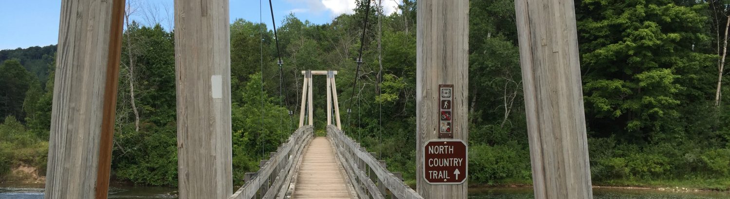
Seaton Creek Entrance NCT & MRT run CCW (23.0 miles, ~2,113 ft elevation gain)
This loop begins from the Seaton Creek campground and within a mile you’ll be at the suspension bridge that connects the Manistee River Trail (MRT) with the North Country Trail (NCT). You can choose to first tackle the challenging elevation that the NCT offers by going straight or to go left and enjoy the technical terrain and beautiful views of the MRT. You can choose to follow the maps or download one of the guided runs below. See the other jaker.run sections for various options to remove sections to vary the distance and elevation.
Route Details:
- 0.0 mi: TBD