The Main Loop:
- Click here for the official website and trail map.
- Click here for driving directions to the 10 mile Rd parking lot,
- Click here for driving directions to the Kies St parking lot.
- Click here for the West Michigan Trail Runners page.
- Click here for the MTB Project website and trail information.
The Inside Loop:
- There is a porta potty located at the 10 mile parking lot and is open year round.
- The Kies entrance is a good option for trail runners and hikers, mountain bikers should use the 10 mile entrance.
10 Mile Rd Entrance Full Loop (8.3 miles, ~750ft elevation gain)
This loop begins from the 10 Mile Rd parking lot as you pass the sign you’ll stay left avoiding the youth trail. You will continue onto the yellow loop, the blue connector, followed by the orange, black, red, green, and yellow loops. See the other jaker.run sections for various options to remove loops to vary the distance and elevation.
Route Details:
- 0.0 mi: Start at the 10 Mile Rd Parking lot by the trail area sign.
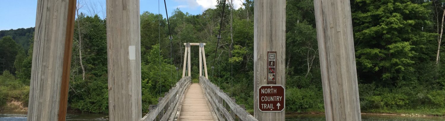
- 0.5 mi: Go straight out of the green loop onto the bridge.
- 0.7 mi: Enter the yellow loop and stay to the right at the fork (going left is a shorter option).
- 1.3 mi: Exit the yellow loop and stay right to return to the blue loop.
- 1.4 mi: Keep right towards the field on the blue loop (going left is a shorter option).
- 1.6 mi: Take a left at the fork to stay on the blue loop.
- 1.8 mi: Up the hill and slight left to enter the orange loop.
- 2.8 mi: Exit the orange loop and turn right onto the blue loop.
- 3.0 mi: Go right to enter the black loop.
- 4.8 mi: Keep right at the fork (going straight is a shorter option).
- 5.4 mi: Go straight to stay on the black loop, watch out for cross traffic!
- 5.6 mi: Take a left to return onto the blue loop.
- 5.8 mi: Turn right to enter the red loop.
- 7.5 mi: Go straight to return to the blue loop.
- 7.8 mi: Keep right to enter the green loop and return to the 10 Mile Rd parking lot.
- 8.3 mi: Stay right to return to the 10 Mile Rd parking lot.
Kies St Entrance Full Loop (9.2 miles, ~750ft elevation gain)
This loop begins from the Kies St parking lot and follows the trail along the road towards the barn. You’ll stay right and continue onto the orange loop, followed by the black, red, green, and yellow loops and taking the remainder of the blue loop back out the parking lot. See the other jaker.run sections for various options to remove loops to vary the distance and elevation.
Route Details:
- 0.0 mi: Start at the 10 Mile Rd Parking lot by the trail area sign.
- 0.5 mi: Go straight out of the green loop onto the bridge.
- 0.7 mi: Enter the yellow loop and stay to the right at the fork (going left is a shorter option).
- 1.3 mi: Exit the yellow loop and stay right to return to the blue loop.
- 1.4 mi: Keep right towards the field on the blue loop (going left is a shorter option).
- 1.6 mi: Take a left at the fork to stay on the blue loop.
- 1.8 mi: Up the hill and slight left to enter the orange loop.
- 2.8 mi: Exit the orange loop and turn right onto the blue loop.
- 3.0 mi: Go right to enter the black loop.
- 4.8 mi: Keep right at the fork (going straight is a shorter option).
- 5.4 mi: Go straight to stay on the black loop, watch out for cross traffic!
- 5.6 mi: Take a left to return onto the blue loop.
- 5.8 mi: Turn right to enter the red loop.
- 7.5 mi: Go straight to return to the blue loop.
- 7.8 mi: Keep right to enter the green loop and return to the 10 Mile Rd parking lot.
- 8.3 mi: Stay right to return to the 10 Mile Rd parking lot.