The Main Loop:
- Click here for a comprehensive map and GPX file that I created.
- Click here for the DNR game area map.
- Click here for driving directions to the main parking lot,
The Inside Loop:
- Parking during the summer on busy nights can be a challenge, consider parking along the two lots along Dursam Ave or the lot on 3 Mile Rd.
- Connect this trail via 5 mile Rd and the Egypt Valley Ave entrance to the Cannonsburg Ski Area for more mileage.
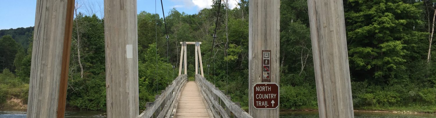
picture
Main Entrance Full Loop (7.3 miles, ~600ft elevation gain)
This loop begins from the 4 Mile Rd entrance where you cross 4 Mile Rd to enter the trail and will run in the same direction as the mountain bike traffic. At 1.1 miles you’ll find the 5 Mile Rd connector where you’ll have the option to continue the loop to the right or exit to 5 mile Rd and head to Cannonsburg Ski Area via Egypt Valley Rd. The first section ends with a right turn up Dursam Ave, the second section ends with a left down 4 Mile Rd, and finally the third section ends with a right onto 3 Mile Rd. Each section has small white signs with black arrows indicating where the trail enters the woods.
Printable Trail Map
Route Details:
- 0.0 mi: Start at the 4 Mile Rd Parking lot by the trail area sign, cross the road to enter the trail.
- 0.2 mi: Cross the creek and try not to get too wet!
- 1.1 mi: Keep left here to stay on the main loop, going right enters the inside loop.
- 1.5 mi: Keep right here to stay on the main loop, going left accesses the 5 Mile Rd connector to Cannonsburg Ski Area.
- 2.1 mi: Take a right onto Dursam Ave when you exit the first trail section.
- 2.3 mi: Go left onto the second section of trail which is marked by a small white sign with a black arrow.
- 2.7 mi: Embrace this climb its the steepest on the course!
- 3.6 mi: Turn left when you exit the second section onto 4 Mile Rd.
- 3.7 mi: Go right onto the third section of trail.
- 5.8 mi: Take a left onto 3 Mile Rd after exiting the parking lot.
- 6.1 mi: Turn right to enter the fourth and final section of trail.
- 7.2 mi: Keep left when you first see the parking lot taking the small uphill turn and drop into the lot.
Main Entrance Section 1 w/ Inside Loop (6.6 miles, ~327ft elevation gain)
This loop begins from the 4 Mile Rd entrance where you cross the street to go in the same direction as the mountain bike traffic. Just after 1.0 miles you will see the fork that allows you to enter the inside loop. The inside loop ends at the State Game Area parking lot on Dursam Ave where you will take a left onto Dursam Ave. You could optionally enter section 2 of the main trail about 0.1 miles down Dursam Ave or follow this route by entering section 1 of the main trail after 0.3 miles.
Printable Trail Map
Route Details:
- 0.0 mi: Start at the 4 Mile Rd Parking lot by the trail area sign, cross the road to enter the trail.
- 0.2 mi: Cross the creek and try not to get too wet!
- 1.1 mi: Turn right here to enter the inside loop.
- 3.0 mi: Stay right at the fork.
- 3.8 mi: Stay right at the fork.
- 4.0 mi: Turn right onto Dursam Ave after leaving the parking lot.
- 4.3 mi: Turn left to enter section 1 of the trail.
- 6.6 mi: Exit the trail head and cross 4 Mile Rd to the parking lot.
Main Entrance Pirate Trail w/ Short Inside Loop (6.1 miles, ~413ft elevation gain)
This loop begins from the 4 Mile Rd entrance where you head west (left) out of the parking lot. You will enter the trail on the north (right) side of the road after about 0.1 miles, it’s difficult to see the entrance so look carefully.. At 1.7 miles you’ll find the 5 Mile Rd connector where you’ll have the option to continue the loop to the right or exit to 5 mile Rd and head to Cannonsburg Ski Area via Egypt Valley Rd. The first section ends with a right turn up Dursam Ave, you will head up the road and enter the inside loop from the parking lot off Dursam Ave, and finally the inside loop will return you to section 1 of the main trail where you’ll have a mile to go.
Printable Trail Map
Route Details:
- 0.0 mi: Start at the 4 Mile Rd Parking lot by the trail area sign, head west (left) on 4 Mile Rd.
- 0.1 mi: Cross 4 Mile Rd to the north and look carefully for the trail entrance.
- 0.6mi: The down trees make it hard to keep the trail stay on a fairly straight course while climbing over the down trees.
- 1.7 mi: Stay right as you see the road and metal barrier and then left reenter section 1 of the main trail over the berm.
- 2.4 mi: Turn right onto Dursam Ave
- 2.8 mi: Enter the parking lot off of Dursam Ave and enter the trail towards the back left of the lot.
- 3.9 mi: Stay left at the fork here for the “short” section of the inside loop.
- 5.1 mi: Turn left onto section 1 of the main trail.
- 6.1 mi: Exit the trail head and cross 4 Mile Rd to the parking lot.