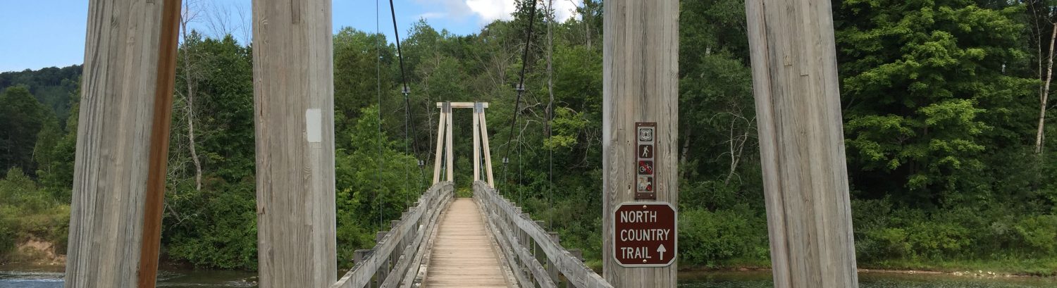
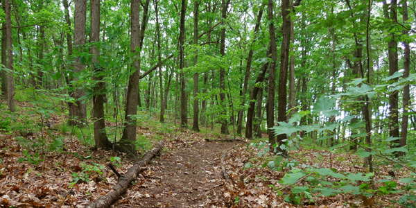
Knapp Valley Forest Park in Grand Rapids Township is a hidden gem and trail system managed by Kent County. The park and trails can be accessed from the main parking which is shared with the parking lot of Knapp Valley Elementary. The trails offer single-track through 87 acres full of dense wooded hills and valleys. The trail system is shorter than those nearby which some runners might find more accessible.
The Main Loop:
- Click here for the official site.
- Click here for the official trail map.
- Click here for driving directions to the parking lot.
The Inside Loop:
- The parking lot is shared w/ Knapp Forest Elementary, stay to the left and follow the signs.
- There are a few out-and-back trails that will lead to private property, watch for signs and respect the park neighbors.
Short Loop (1.1 miles, ~285ft elevation gain)
This loop begins from the parking lot at Knapp Forest Elementary. You will head north out the the parking lot staying to the left of the baseball field until the trail enters the woods.
Route Details:
- 0.0 mi: Start at the parking lot and head north staying left of the baseball field.
- 0.1 mi: Stay to the right at the first fork & sign just after entering the woods.
- 0.2 mi: Turn left at the top of the hill.
- 0.5 mi: Continue straight to stay on the short loop.
- 0.8 mi: Turn right just before the trail exits the woods.
- 0.9 mi: Turn left to head back towards the parking lot.
- 1.0 mi: Turn left again to return to the trail that exits to the parking lot.
Big Loop (2.6 miles, ~581ft elevation gain)
This loop begins from the parking lot at Knapp Forest Elementary. You will head north out the the parking lot staying to the left of the baseball field until the trail enters the woods. You’ll head straight up the trail and run the north out-and-back, when you return to the loop you will finish the remainder of the sections before returning to the parking lot.
Route Details:
- 0.0 mi: Start at the parking lot and head north staying left of the baseball field.
- 0.1 mi: Stay to the right at the first fork & sign just after entering the woods.
- 0.2 mi: Continue straight at the top of the hill.
- 0.3 mi: Continue straight at the three way fork.
- 0.7 mi: Take a hairpin left here even though the trail looks like it continues straight.
- 0.9 mi: Turn around when the trail fades and run the route in reverse.
- 1.5 mi: Turn left at the three way fork.
- 1.9 mi: Turn right just before the trail exits the woods, continue straight through the next two cross trails.
- 2.2 mi: Turn right at the three way fork.
- 2.4 mi: Take a left at the this trail crossing and stay right at the trail immediately following.
- 2.5 mi: Head left here to exit the woods and return to the parking lot.
Super Loop (3.6 miles, ~801ft elevation gain)
This loop begins from the parking lot at Knapp Forest Elementary. You will head north out the the parking lot staying to the left of the baseball field until the trail enters the woods. Similar to the Big Loop, you will head straight up the trail and run the north out-and-back, when you return to the loop you take the north loop heading to the south out-and-back, then running the east out-and-back, then finishing the remainder of the loops.
Route Details:
- 0.0 mi: Start at the parking lot and head north staying left of the baseball field.
- 0.1 mi: Stay to the right at the first fork & sign just after entering the woods.
- 0.2 mi: Continue straight at the top of the hill.
- 0.3 mi: Continue straight at the three way fork.
- 0.7 mi: Take a hairpin left here even though the trail looks like it continues straight.
- 0.9 mi: Turn around when the trail fades and run the route in reverse.
- 1.5 mi: Turn right at the three way fork.
- 1.8 mi: Continue straight until the trail exists the woods.
- 1.9 mi: After exiting the woods stay straight to run the south out-and-back.
- 2.1 mi: The trail ends here, turn around and head back.
- 2.2 mi: Turn right as you near the woods to run the east out-and-back.
- 2.4 mi: Shortly after the trail heads to the right turn around and head back.
- 2.7 mi: Continue straight at the 4 way section and stay along the right of the baseball field.
- 2.8 mi: Turn right to reenter the woods and take the immediate trail to the right.
- 2.9 mi: Take a hard right here.
- 3.0 mi: Turn left just before the trail exits the woods.
- 3.3 mi: Head left at the three way fork and continue straight to return to the parking lot.