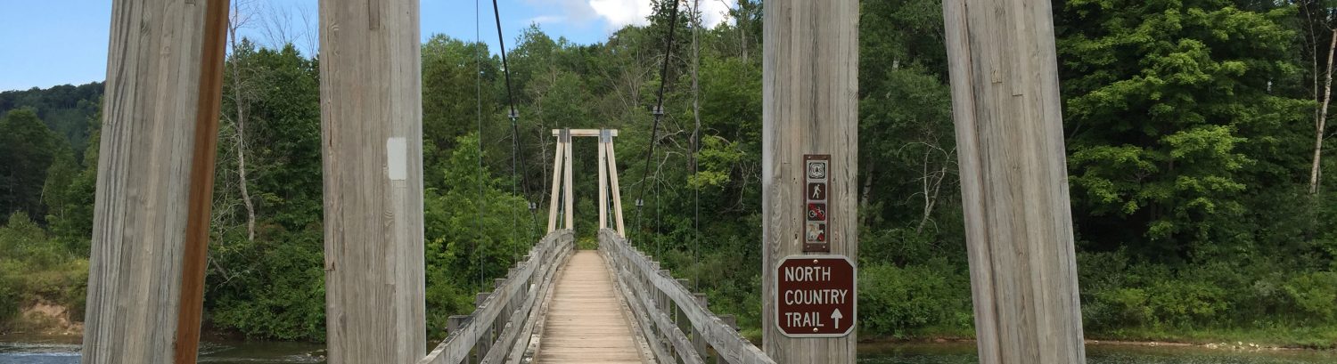
Merrell Trail is single-track mountain bike trail and offers excellent flow and elevation for trail runners. The trail system has numerous loops that you can combine or eliminate for a variety of distances The trail system is shared with mountain bikers and is home to weekly Thursday runs put on by the West Michigan Trail Runners group. You can access the trail via the 10 Mile Rd entrance and following that to the parking lot.
The Main Loop:
- Click here for the WMBA site and trail map.
- Click here for driving directions to the main parking lot.
The Inside Loop:
- This trail runs in opposite directions depending on the day, be sure to check the sign when you enter the park and run with traffic.
- Be sure to check the trail status page after rain or snow to make sure the trail system is open.
- Share the trails with mountain bikers, listen carefully while you run and be sure to step off the trail to allow them to pass.
Full Loop CCW (6.2 miles, ~325ft elevation gain)
This loop begins from the parking lot where you will run the full loop counter clockwise (CCW). From the parking lot you head north west towards the trail head sign. This trail system changes direction each day so you’ll need to pay special attention and make sure you’re running with traffic.
Route Details:
- 0.0 mi: TBD
Full Loop w/o Sawtooth CCW (5.7 miles, ~324ft elevation gain)
This loop begins from the parking lot where you will run the full loop counter clockwise (CCW). From the parking lot you head north west towards the trail head sign. This trail system changes direction each day so you’ll need to pay special attention and make sure you’re running with traffic. For this loop you’ll exclude the more technical Sawtooth section.
Route Details:
- 0.0 mi: TBD